


Geographic Information Systems, or GIS, is a comprehensive database which allows users to store, manipulate, analyze and display geographically referenced information.
ELA Group offers GIS as one of our core competencies, complementing our Engineers, Surveyors and Landscape Architects. Whether you are just starting out or adding to a comprehensive GIS database, ELA can guide you in the right direction. Our areas of expertise include:
GIS SYSTEM DESIGN, IMPLEMENTATION AND TRAINING
Complete System Setup Customized to Clients Needs
GPS Data Collection; Code-Phased or Carrier-Phased
CADD/GIS Integration and Conversion
Digital File Archiving using Laserfiche
MUNICIPAL GIS SYSTEMS
Infrastructure Management
Code Enforcement
Public Works
Zoning/Building Permit Management
BUSINESS GIS SYSTEMS
Property and Asset Management
Marketing Maps and Demographics
WATER AND WASTEWATER
System Planning and Expansion
PA Sewage Facilities Act 537 Plans
On-Lot Disposal Systems Mapping
STORMWATER MANAGEMENT
NPDES Maps for MS4 Compliance
Wellhead Protection/Groundwater Recharge Areas
Floodplain Mapping
Watershed Mapping, including Act 167 Plans
TRAFFIC AND TRANSPORTATION
Planning and Analysis
Signage Inventory
Maintenance Records
LAND PLANNING
Zoning and Land Use
Comprehensive and Strategic Planning
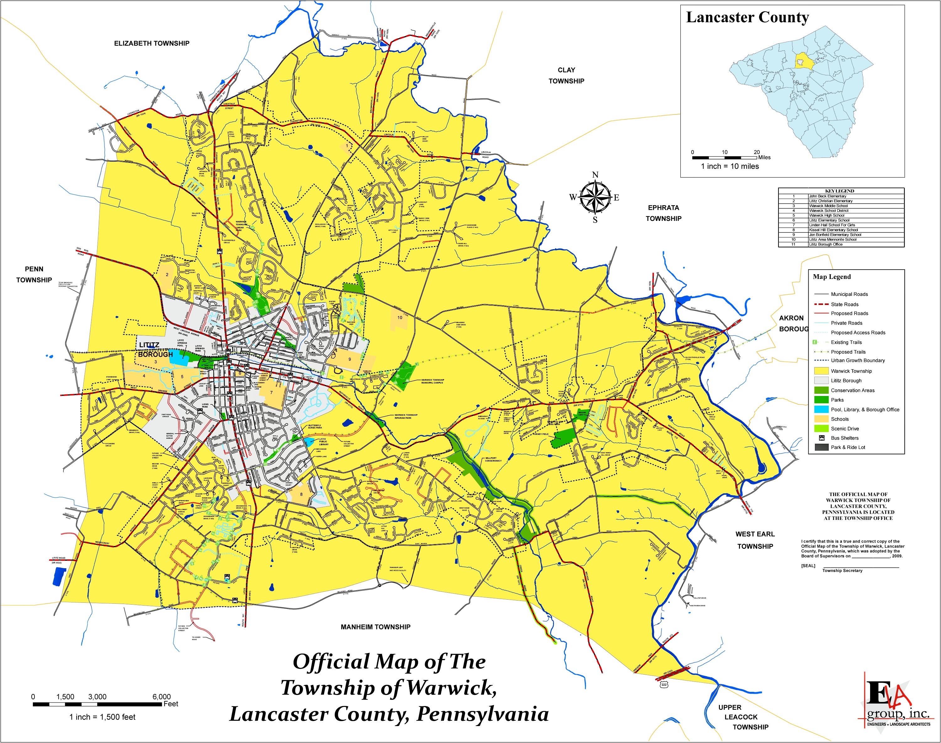
Official Maps
Parks, Trails and Recreation
Topographic, Geologic, Aerial and Soils Maps